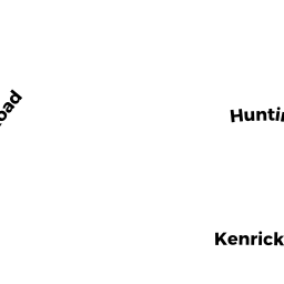
127 HUNTINGTON RD 110C
Owner Information
NANAVATI AMIT
127 HUNTINGTON RD #110C
BRIGHTON, MA 02135
Property Details
127 HUNTINGTON RD 110C is classified as a Residential Condominium (Free standing).
The primary structure on this property was built in 1999. There is 2,513ft2 of residential/living space within this property. This property is listed as having 10 rooms.
127 HUNTINGTON RD 110C is valued at $1,358,400. The land is valued at $0 and the structures are valued at $1,358,400.
The most recent deed for 127 HUNTINGTON RD 110C is recorded at the local registrar in Book 25639, Page 172. 127 HUNTINGTON RD 110C was last sold on Wednesday, December 6, 2000 for $0.
Assessment data from fiscal year 2020.
Flood Data
According to the FEMA National Flood Hazard Layer, this property does not appear to be in a flood zone. It may also be in an area not yet reviewed. Nonetheless, confirm this information prior to taking any action.
To view the flood hazards around this property, create a FEMA "Firmette" Map of the area around 127 HUNTINGTON RD 110C.
Broadband Internet Providers
| Provider | Type | Bandwidth (mbps) | |
|---|---|---|---|
| Starry, Inc. | Fixed Wireless | 200 | 200 |
| Comcast | Cable | 1000 | 35 |
| RCN | Cable | 500 | 20 |
| RCN | Cable | 1000 | 20 |
| Verizon New England Inc. | Fiber | 940 | 880 |
| HughesNet | Satellite | 25 | 3 |
| VSAT Systems, LLC. | Satellite | 2 | 1 |
| GCI Communication Corp. | Satellite | 0 | 0 |
| Verizon New England Inc. | DSL | 7 | 0 |
| Viasat Inc | Satellite | 100 | 3 |
Broadband service provider data from December 2020.
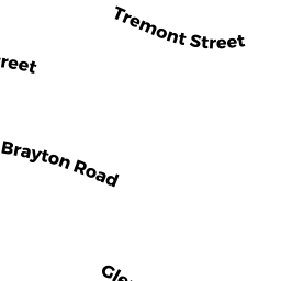
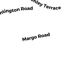
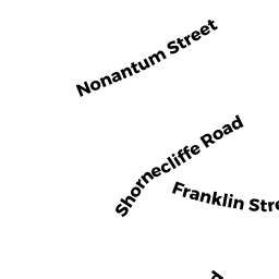
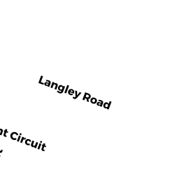
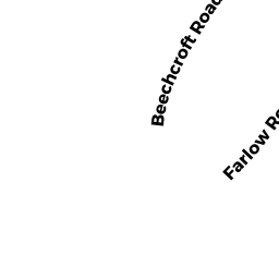
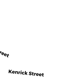
Adjacent Properties
- 5 MARGO RD
Single Family Residential owned by PETERSON BRIAN A - 11 MARGO RD
Single Family Residential owned by CASHMAN KATHLEEN M - 60 BRAYTON RD
Single Family Residential owned by DAHAL SUNIL RAJ - 15 MARGO RD
Single Family Residential owned by TELLIS MICHAEL A - 19 MARGO RD
Single Family Residential owned by COMPTON MARY - 23 MARGO RD
Single Family Residential owned by KORCHNOY YAROSLAV - 160 BRAYTON RD
Two-Family Residential owned by LI XUZHI - 158156 BRAYTON RD
Two-Family Residential owned by PISHCHIK YURY - 154152 BRAYTON RD
Two-Family Residential owned by MAHER BRIDIE - 15 RYDER HILL RD
Single Family Residential owned by SILVA STEVEN D - RYDER HILL RD
(formerly Counties. Removed June 2009.) owned by CITY OF BOSTON - 16 RYDER HILL RD
Single Family Residential owned by PURINS ANSIS - 16 BRAYTON TE
Single Family Residential owned by SOBEIH MAGDI M - 15 BRAYTON TE
Single Family Residential owned by HEWSON PATRICK T - GLENLEY TE
Undevelopable Residential Land owned by LEE RAYMOND G TS - 36 GLENLEY TE
Single Family Residential owned by LEE RAYMOND G TS - 40 GLENLEY TE
Single Family Residential owned by NG XIAO SHAN - 21 GLENLEY TE
Single Family Residential owned by LUONG DENNIS NGUYEN - 112110 BRAYTON RD
Two-Family Residential owned by FLESCHE DAVID E - 27 MARGO RD
Single Family Residential owned by EBJJ REALTY TRUST - 31 MARGO RD
Single Family Residential owned by CALCI JOSEPH - 35 MARGO RD
Single Family Residential owned by CROSBY NATALIA C - 39 MARGO RD
Single Family Residential owned by BARNES DEBRA ANN - 43 MARGO RD
Single Family Residential owned by DONOHUE WILLIAM - 47 MARGO RD
Single Family Residential owned by GOODMAN HERBERT BE